Showing posts with label hiking with dogs. Show all posts

Wednesday, August 19, 2020

Heliotrope Ridge 08-16-2020

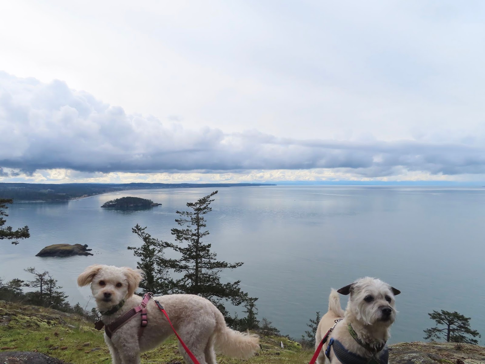
 It was a gorgeous sunny day - ended up being the hottest of the year - and Justus had the day off.  This hike has been on my list for years, but I had never made it up north to hike it.  Today was the day!  Bringing the adventure dogs meant getting an early start and planning on some slower hiking with breaks to avoid the heat and accommodate Cedar being older now.

We got to the trailhead about 9am and the parking lot was full, but there were not too many cars along the road yet.  The road was supposed to be pretty bad, but after the ones on the Mountain Loop Hwy, it was a piece of cake.  It was a pretty drive too, with some river views and lovely bridges.

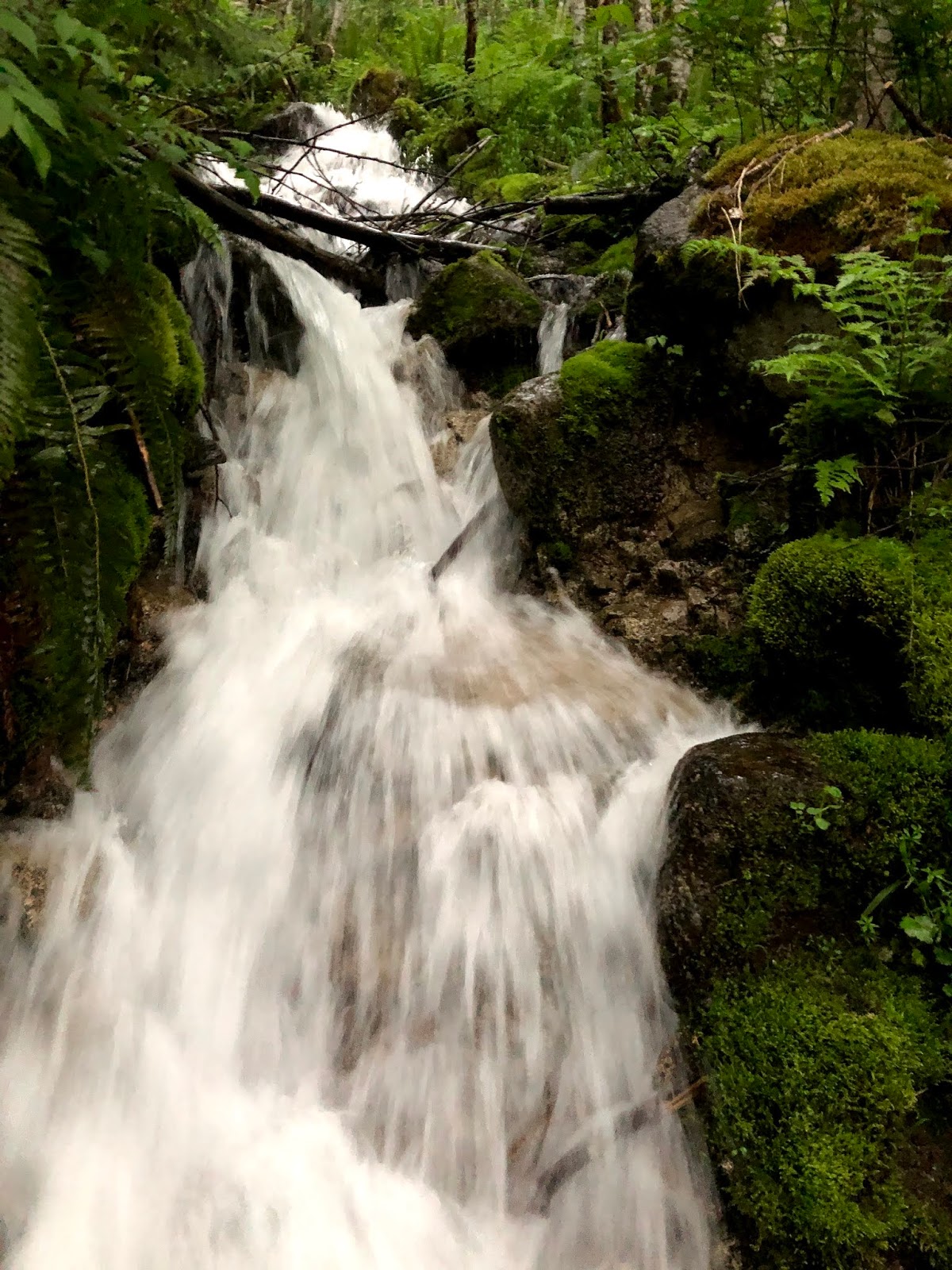
A great thing about this hike, especially on such a warm day, is that there are quite a few water crossings.  This is also a detriment in some seasons, because at times they can be dangerous.  Even with the water level being pretty low and manageable, there were a couple I carried Cedar and Luna across.


Wildflowers were abundant - I didn't see a huge variety, but what was blooming there was a lot of - lupine,  red willow-herb, yellow daisy type flowers and a variety of others.  


The first part of the hike winds up through the trees, and as we gained elevation we noticed more alpine varieties and less of the large firs and spruces.

The first glimpse of some of the cracked towers of ice that make up the edge of the Coleman Glacier, gleaming glacier-blue against the cap of Mt Baker was stunning!  And it just got prettier from there on.  Once we rounded a large glacially-carved rock and got to the Ridge that runs along the glacier, the view was just spectacular.  The glacier itself was mesmerizing - pits, valleys, arches, chasms, and water-carved channels intricately woven across the expanse of living ice.  


We ate our lunch, got some nice video of Justus spinning his Devil sticks (we agreed to stay way from the cliff edge), and then reluctantly left our gorgeous vantage point.  


Apple Watch stats:  6.59 mi RT, 1774 ft of elevation gain.

This is definitely a hike I'll want to come back to.  I don't know if it is even possible to spend 'enough' time up on the ridge looking over that great glacier.  

Happy (and safe) hiking!

Saturday, May 30, 2020

Iron Goat 05-30-2020

The dogs and I headed out early for Iron Goat Trail near Stevens Pass on Hwy 2 to avoid any crowds and hopefully beat the rain.  So far the morning had been dry, but rain was expected.  From the look of the forecast it sounded like showers and then increasing later, possibly some thunder later.  As I parked the Xterra the first drops began to fall.

The dogs were game, so we headed out into some light sprinkles - I could see some brightness in the sky so expected the rain to diminish.  The trail was empty of people, beautiful and dim halls of green, carpeted with wildflowers - bleeding heart, wild currants, and some tiny white and blue flowers I didn't know the names of.


Here was a little thing I wasn't expecting to see on the trail - I left it for some child to find.

As we hiked along I heard a crackle of thunder.  Cedar missed the first one, but not the next - he HATES thunder.  I tried to tell him because we were hiking it was FUNder, but he wasn't having it.  I have never been in the mountains on a trail in a storm like this - the thunder started ripping across the sky, booming and rolling from peak to peak, like something from a J.R.R.Tolkien novel.  Then the rain started to come down hard, and after an hour of thunder Cedar was panting and shaking so much that I was worried about him.  We found a dryish spot under some thick trees and huddled together.  I checked my phone and it looked like within a half hour the rain would subside and the storm would be gone.  While we were sitting there the rain came down even harder.  I decided we should go back, but looking at my Apple Watch I saw we were about halfway.  Might as well finish.  The rain now was pelting down so hard it was bouncing back up off the trail.

As it didn't show signs of slowing, we headed out after our break - after that we got so wet that we didn't dare stop again as nothing we had was dry enough to warm us up if we quit moving.  The rain got even harder!  I didn't even think that was possible!  It wasn't just falling anymore, but being cast down forcefully upon us by storm gods gone mad.  It stung right through my raincoat and for the first time I was glad that the groomers have been closed for so long... with shaggy and wooly coats, the dogs seemed pretty comfortable other than being wet.


We didn't poke into all of the tunnels or go up to all of the viewpoints, but pretty much just marched on - the dogs wanting to go even faster than I did.  It was still glorious!  If it wasn't for Cedar being upset it was exhilarating to be up inside the storm, hearing it playing across the peaks.


The waterfalls were full and water was spilling over the edges of the snow walls in more places than usual.


When we got back to the car, I gave the dogs their salmon stick and all the treats I had with - they earned the today!!

Apple Watch stats:  6.39 mi and 713 ft of elevation gain.

Sunday, March 15, 2020

White Chuck Bench 03-15-20

Keeping health and social distancing for corona virus reasons in mind, I headed out with the adventure dogs to a trail that we very rarely see anyone on.  Living up to expectations - we were the only ones on it the whole time.  Yay!

This trail does not have a singular 'wow feature' but is just a really beautiful hike through the forest up on on a flat forested bench, sometimes above a river.  You get peek a boo views now and then of the river, and of the peaks surrounding, but it's all about the forest - moss, trees, interesting rocks, and streams.


We had done about 6 miles at Paradise Valley Conservation Area the day before for Cedar's 11th birthday - meeting up with people friend, Katie, and pooch friend, Pixel - so I wanted to keep this day around 5 miles.  You can hike much farther on this trail.  I have never hiked all the way to the end.  Apple Watch stats: 4.82 miles and 423 ft of elevation gain.

There were a lot of blow downs on the trail, and one little landslide/slump.  All were fairly easily negotiated by going over, under or around. With small dogs, we often do a combination as they go under and charge ahead while I try to pass the leashes under to myself while scaling the obstacle they passed underneath.


Today I must have been a bit tired of stepping over logs, as one of the last ones I caught my toe on and took a header - scraped both knees and one shin.  Ouch!  Luckily if you're hiking 'walking it off' isn't a problem - it's what you have to do.

All in all - a gorgeous day that we all enjoyed.  Luna decided she had enough hiking about 1/3 mile from the car though, so I carried her the rest of the way while my 11 yr old adventure buddy trotted right along at the end of his leash like he could walk 50 miles.  Gotta love these two!


This last photo is taken in Darrington of White Horse Mt - it is just so gorgeous!  I fall in love every time I drive through there.


Sunday, March 8, 2020

Sharpe Park and Tommy Thompson Trail 3-8-20

Today we had double the usual fun!  Our first destination was Sharpe Park on Fidalgo Island.  I had volunteered with a WTA work party on Friday to work on a section of the trail system here, and really loved the park.  I wanted to show Dave what we had worked on, so we loaded up the adventure dogs and off we went.

This trail system has woods, stream, wetlands, and views of the sea!  I expect bald eagles. hang out here, but I didn't see them in this particular spot either day.  We took Porpoise Way to Madrona Trail where we had been working and it was totally amazing how much more work had been done since Friday.

Cool mosses

Then we caught the Sunburst Trail which goes along the hillside above the sea (with only peek-a-boo views now and then).  There was one nice overlooking, but we only stayed a moment and carried on to catch the Sares Head Trail.  Sares Head is a lovely overlook of the Salish Sea and San Juan Islands.


When we got back to the parking lot we were just .3 mi shy of my 2 miles to count it as a hike, so I jogged the dogs back down the hill to a picnic table and back to finish out my distance.  Apple Watch stats for this hike:  2.07 miles, 431 ft of elevation gain.  There are other trails you can take (and actually we did take a spur trail along the pond a ways too).

After wrapping up this little hike, we went to a place neither of us has been - the Tommy Thompson Trail at the Fidalgo Bay Aquatic Reserve.  Yes, we could hear traffic and see refineries, but the trail is a lovely paved walk (we only did the last mile of it - so 2 out and back) that goes out over the water.  We parked at the Fidalgo Bay Resort and walked past a little pond where we saw a lovely pair of green winged teals along with some mallards.


Out on the trail over the water we saw buffleheads, grebes, golden eye and loons among others.


We didn't get rained on, got some great exercise and got to check out some new places - so a great day all around.